Flash flood likely due to influence of cyclone Sitrang
- Update Time : Monday, October 24, 2022
- 432 Time View


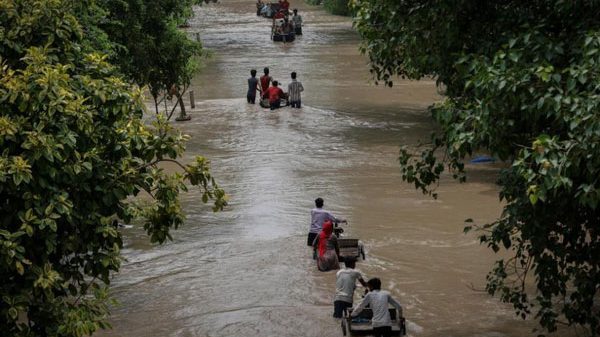
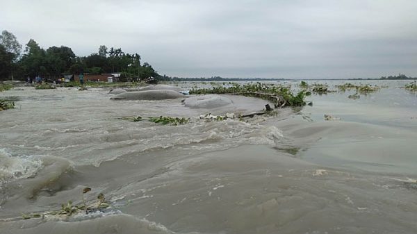
Online Desk: Flash flood is likely to take place at the country’s south-eastern, eastern and north-eastern regions due to heavy to very heavy rainfall in the coastal regions under the influence of cyclonic storm ‘Sitrang.’
The Flood Forecasting and Warning Centre (FFWC) of the Bangladesh Water Development Board (BWDB) stated it in its forecast on Sunday (October 23, 2022).
The forecast, signed by Md. Arifuzzaman Bhuyan, Executive Engineer of the FFWC, said that the deep depression over the east-central and adjoining areas of the Bay of Bengal may intensify into a cyclonic storm on October 25 and cross the coastal area of Bangladesh between Barisal and Chattogram divisions.
“Under the influence of the storm, there is a chance of heavy to very heavy rainfall in the coastal region including south-eastern, eastern and north-eastern regions of the country. Because of it, there is a possibility of flash flood at
few places of south-eastern region. The Muhuri, Khowai, Manu, Surma and Kushiyara rivers of the eastern and north-eastern region of the country may rise rapidly causing flash flood at times during this period,” the forecast said quoting the metereological agencies.
Meanwhile, State Minister for Disaster Management and Relief Dr Md Enamur Rahman has said that the cyclonic storm ‘Sitrang’ will hit a 730 km area – from Cox’s Bazar to Satkhira districts. However, there is no possibility that ‘Sitrang’ will not turn into a ‘super cyclonic storm’ and it may hit 19 coastal districts. Its speed will be from 90km to 110km per hour.
Addressing a press briefing over the cyclone issue at his Secretariat office in the capital on Sunday, he said the tidal surge will likely increase to 3-5 feet above the astronomical tide due to full moon. The government has taken necessary steps to tackle the storm.
According to the latest bulletin of Bangladesh Meteorological Department (BMD), the maritime ports of Chattogram, Cox’s Bazar, Mongla and Payra have been advised to hoist local Cautionary Signal Number 3 as the deep depression over the east-central Bay and adjoining areas moved slightly north-westwards further.
It was centered at noon on Sunday about 780 km south-southwest of Cox’s bazar port, 715 km south-southwest of Cox’s Bazar port, 730 km south of Mongla port, and 695 km south of Payra port.
It is likely to intensify further into a cyclonic storm and recurve initially north-westwards.
Sea will remain rough near the deep depression centre.
Under the peripheral effect of the deep depression, North Bay and adjoining coastal areas of Bangladesh are likely to experience gusty or squally wind of 40-50 kph in addition to heavy to very heavy rainfall.
Under the influence of deep depression, new moon phase and steep pressure gradient, the low-lying areas of coastal Satkhira, Khulna, Bagerhat, Jhalakathi, Pirojpur, Barguna, Patuakhali, Bhola, Barishal, Laxmipur, Chandpur, Noakhali, Feni, Chattogram, Cox’s Bazar districts and their offshore islands and char area likely to be inundated by the wind driven surge height of 3-5 feet above the astronomical tide. Surge height may increase afterwards.
All fishing boats and trawlers over North Bay and deep sea have been advised to remain in shelter till further notice. Source Bangladesh Observer.


Leave a Reply